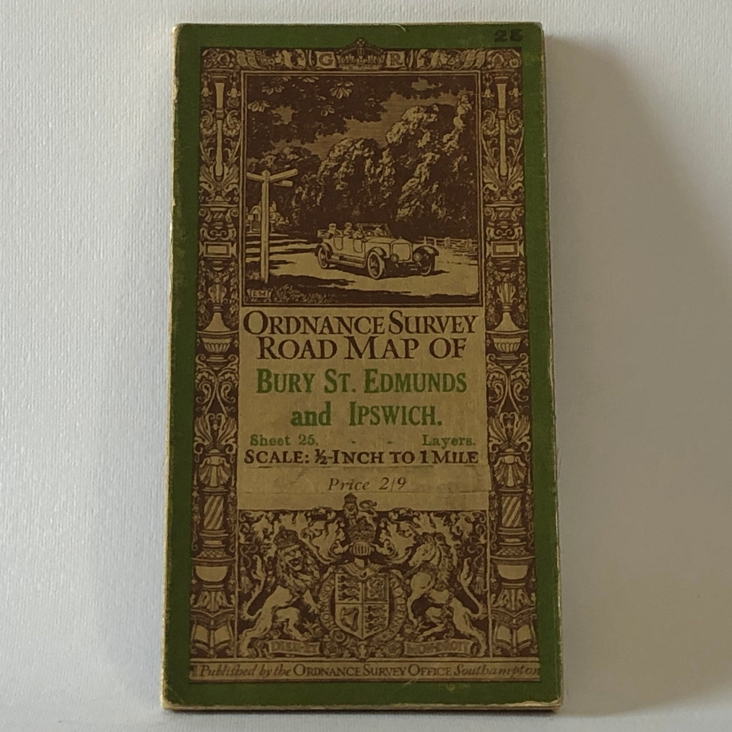
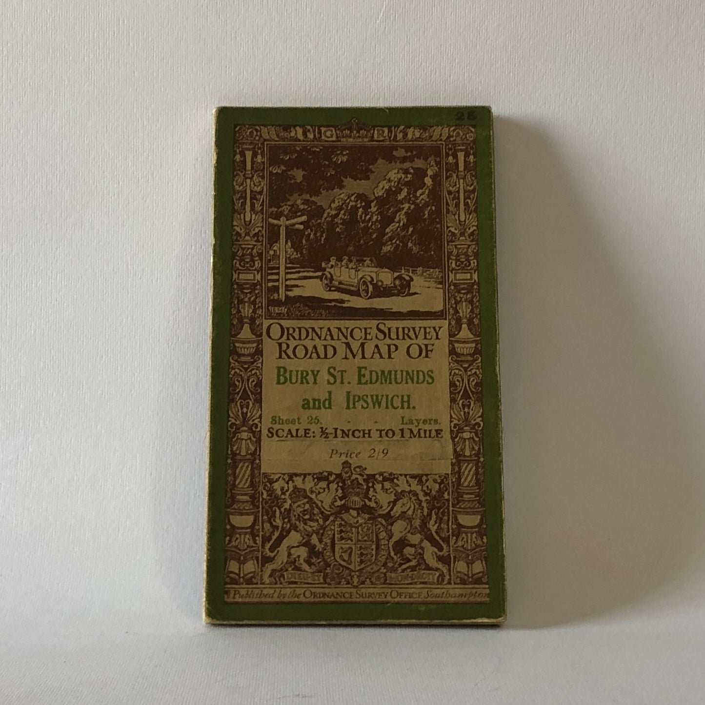
Road Map, Bury St. Edmunds and Ipswich Road Map from 1911, Map No. 25 of 25
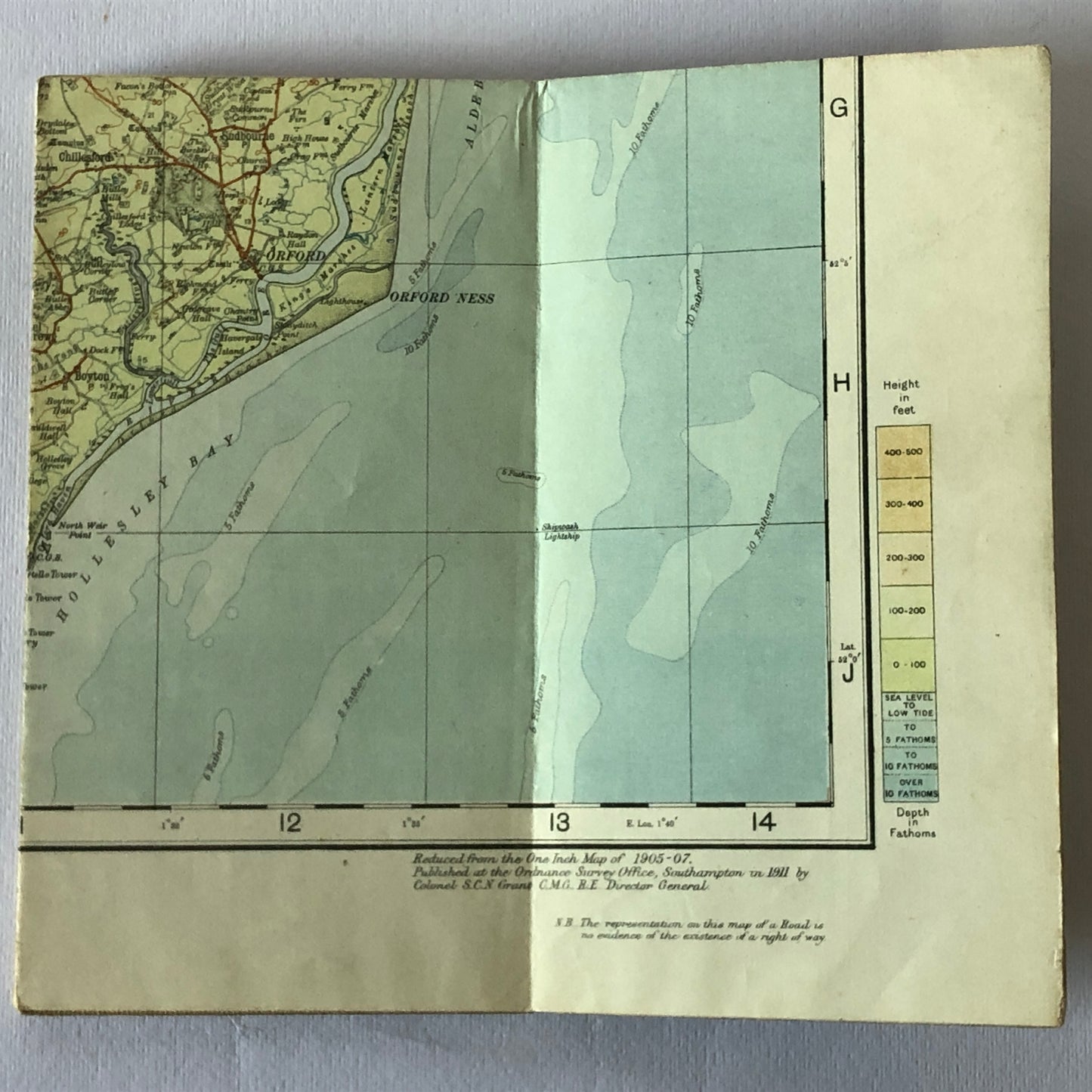
Road Map reduced from the 1905-1907 One Inch Map, published in the Ordinance Survey Office (OS), Southampton in 1911, by Colonel S.C.N. Grant C.M.G.R.E. Director General.
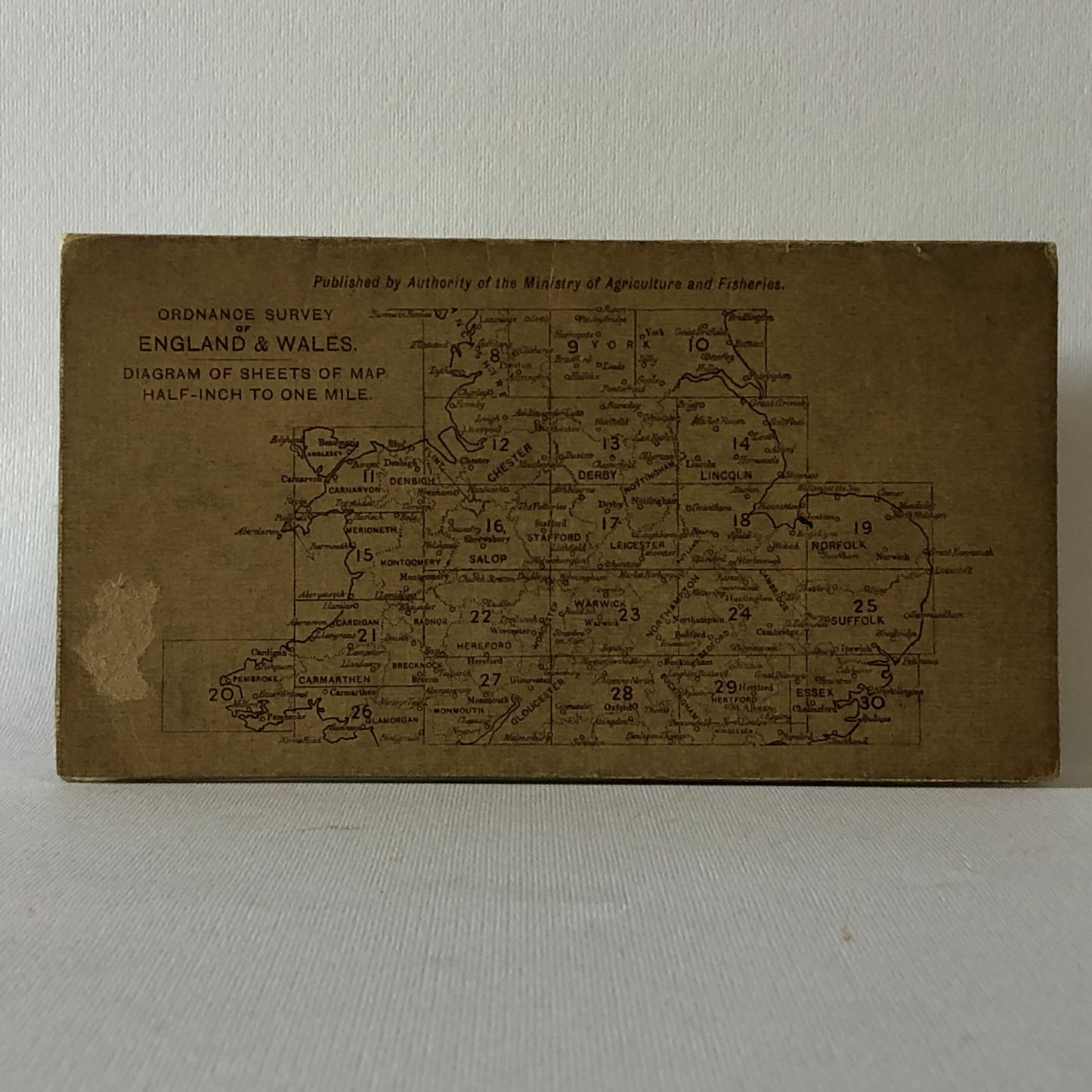
"OS" is the national mapping agency for Great Britain founded in 1791 in Southampton and still functioning. At first the agency was a military agency that was to map Scotland in the wake of the Jacobite uprising of 1745, and it was also opened because there was a more general and national need for mapping the territories, in light of the potential threat of invasion during the Napoleonic wars. The Ordinance Survey Road Maps of Bury St. Edmunds and Ipswich is map no. 25 of the series of 25 maps of Ireland Half Inch to the Mile Maps.
Size: 30 x 21 inches, folds to 7 x 3.75 inches.
Excellent general condition, map intact in every part, signs of wear on the back.
Contact us for further information.
The images are an integral part of the description and to determine the condition of the objects.
Raggi's Collectibles' Automotive Art - "From History with Passion" -